Exhibition curator: Dr. Michael Eisenberg, Zinman Institute of Archeology
Haifa University
Opening Exhibition: December 2017
The ancient city of Susitha lies on Mount Susitha, about two kilometers east of the Sea of Galilee, between the eastern Sea of Galilee and the southwestern Golan Heights. In the south and the Noah River to the east. Only at one point, in the southeastern mountain, does a natural saddle attach to the level of the mountain and allow a convenient passage into the city.
Perched on the mountain, it enjoys panoramic views of the Galilee and the Sea of Galilee on one side, and the Golan Heights on the other.
Just before the middle of the second century BCE, the Slovak king - Antiochus the "Great" or Antiochus the "Epiphans" - founded the town of Susitha by the Greek name Antioch Hippos. Like the Aramaic name, the word Hippos retains the meaning - horse. The horse in the name of the town - some compare to a mountain saddle shape and a horse's head and believe that the name is from here, and some believe that cavalry soldiers were the first to receive a farm here, hence the name of the town.
In the middle of the second century BCE, Susitha slowly developed, and the Hellenistic complex was erected in the center of the mountain with the city's temples. King Hasmonean Alexander Yanai brought its destruction in the late second century BCE and its settlement was interrupted until the Roman army took over the space in 63 BCE. Early construction dates back to the days of King Herod and, more specifically, in the 15th-3rd centuries CE, known as the Roman Peace, Susita flourished as her other sisters in the Decapolis - a geographical-cultural area of ten Greek-Roman cities in Jordan, Syria. And today's Israel, Susitha became the city's head - a polis that controls an extensive area that includes the southern Golan and perhaps There were also many Jewish towns in its area: its administrative boundary bordered on the west with the Sea of Galilee; on the southwest with the territory of Hamat Gader, which belonged to the city of Gedera (in today's Jordan); on the east, with the course of the Rocad and Yarmouk rivers. It is uncertain and is currently at the center of multidisciplinary research, and the northern border may have reached the Jewish village of Jodulia, which is close to the present-day settlement of Natur.
During this period, coins were minted in the city, depicting the Emperor's portrait, and on the back of which is the image of the goddess of the city of Ticha, headed by the crown of the city walls, and holding a horse - a symbol of the city - or standing beside him. During this period, the water system was also paved into the city, and its orthogonal plan was established - a network of streets based on a central street (the Decumanus Maximus) out of it from east to west, and streets from north to south that cross the main street at a right angle, creating a well-planned urban landscape. Most of the city's buildings are built of basalt that covers most of the mountain and sometimes a local soft limestone was also incorporated. Rich Roman and Byzantine building assemblages also used marble and granite imported from a distance. In the Roman period, public buildings and major plazas were established such as the Forum - the city's cobbled city center, the Great Basilica to the north, a public bathhouse on the southern cliff, the Odeon - a small theater, the perimeter wall with sophisticated defense systems and the city's main gate, set in the East.
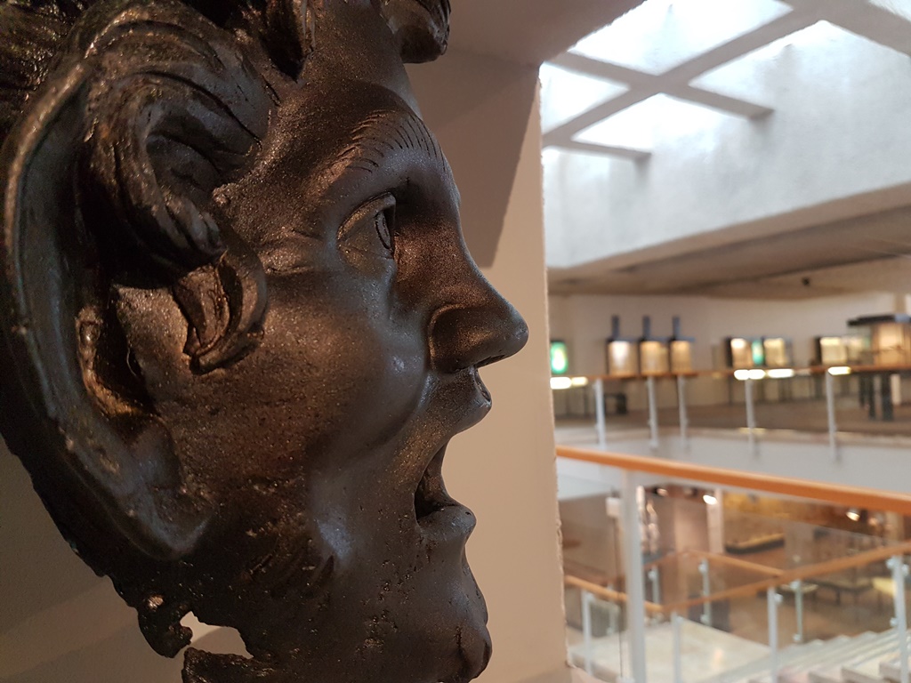
In recent years, a sacred compound has been exposed in the saddle of the city for one of nature's gods, possibly for Dionysus to the wine, as a unique bronze mask depicting his companion, Hal Pan, was unveiled at the monumental gate leading to the compound. The entrant at the compound gates also reached a magnificent public bathhouse and Roman theater.
In the fourth century AD, there were considerable changes in the city plan. An earthquake that occurred in 363 destroyed some of the city's buildings including the Basilica and the rise of Christianity and became the official religion of the empire, giving way to the recognized Roman institutions of seven Byzantine churches and the city was designated the seat of a bishop.
In the sixth century, construction of public buildings in the city began to decline. After the early Islamic conquest, in the 7th century, the sunset continued and was exacerbated, as Susitha then lost its senior position as its chief city in favor of Tiberias on the other side of the Sea of Galilee. In the eighteenth century, Sussita was no longer a city, but an industrial town. The devastating earthquake of 749 AD caused Susita's final abandonment until the beating of archaeological negroes woke her remains.
The first excavations in Susita were conducted as soon as the War of Independence ended (1949) as part of the Antiquities Division's rescue excavations, when the IDF erected one of the largest border posts against Syria on the mountain. In 2000, an international excavation mission led by Prof. Arthur Segal and D Dr. Michael Eisenberg, on behalf of the Zinman Institute of Archeology at the University of Haifa, to reveal the north of Susita. A series of excavations began in 2012 led by Dr. Eisenberg focusing on military architecture research, the city's network of streets, the southern bathhouse, the sanctuary of the city's saddle, and cemeteries.
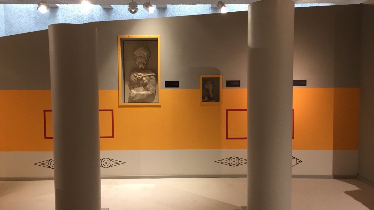
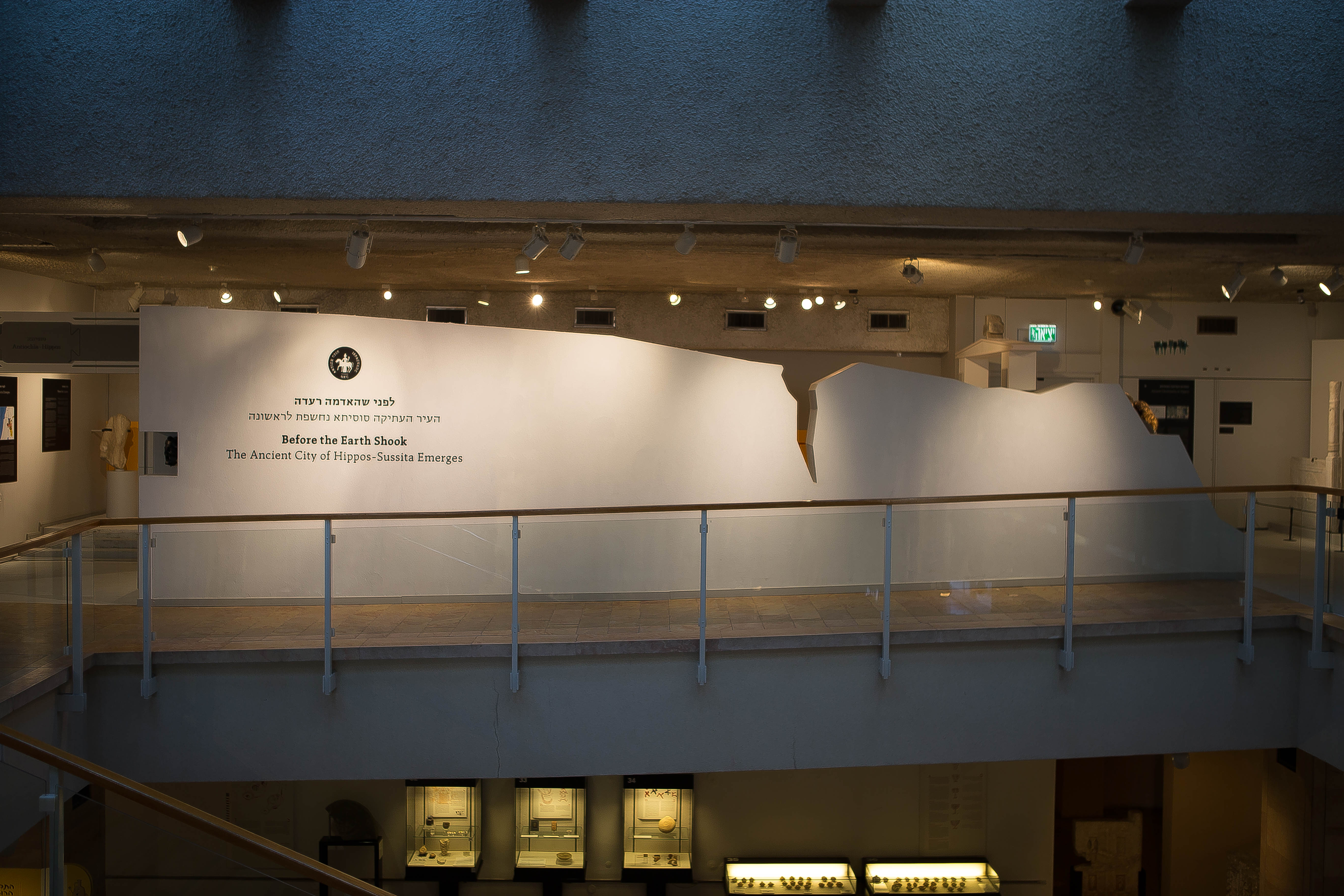
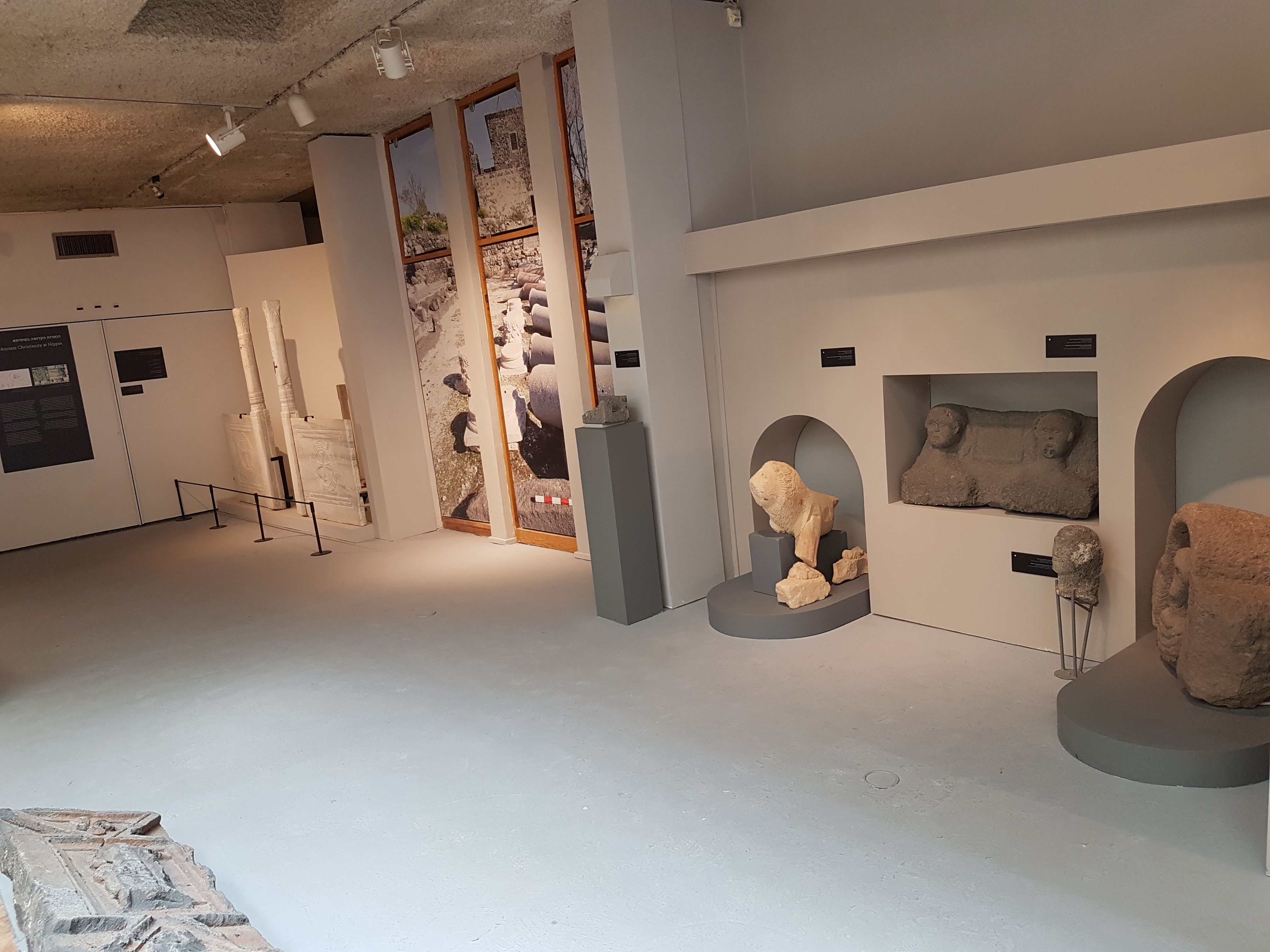
After nearly two decades of excavation, the remains of Susita are resurrected in the new exhibit, which for the first time shows artifacts from the site alongside restorations of the central public buildings - together they give visitors a broad and in-depth look at life in ancient Susita.